The Signal Box at Rosemill
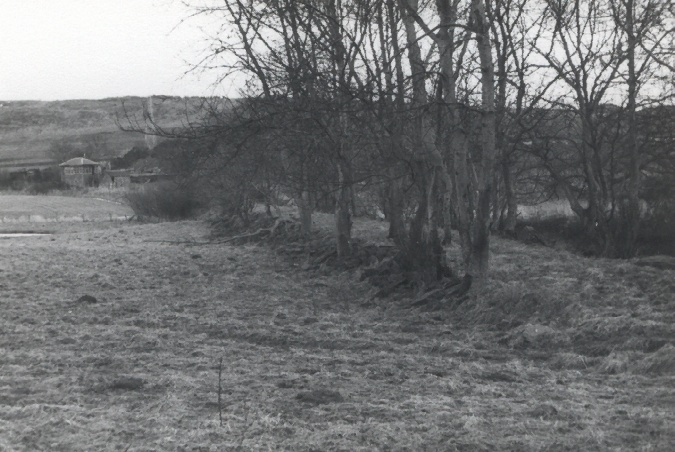
The track bed on the north side of the Dighty which lines up with the east bridge
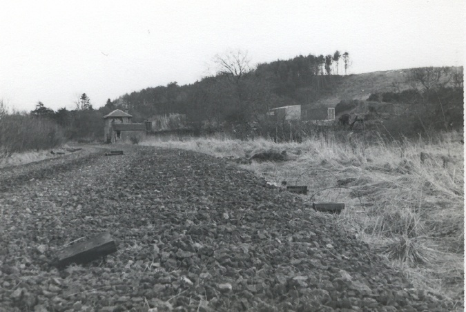
In Priestley's Navigable Rivers and Canals the length of the first level section is given as nearly four and three quarter miles. At the end of this was the second incline which took the line up a height of 200 feet over a distance of 1690 yards. This was the Balbeuchly incline. It had a slope of 1 in 25 and was named after the farm at the summit. The bottom end of the incline was at Rosemill.
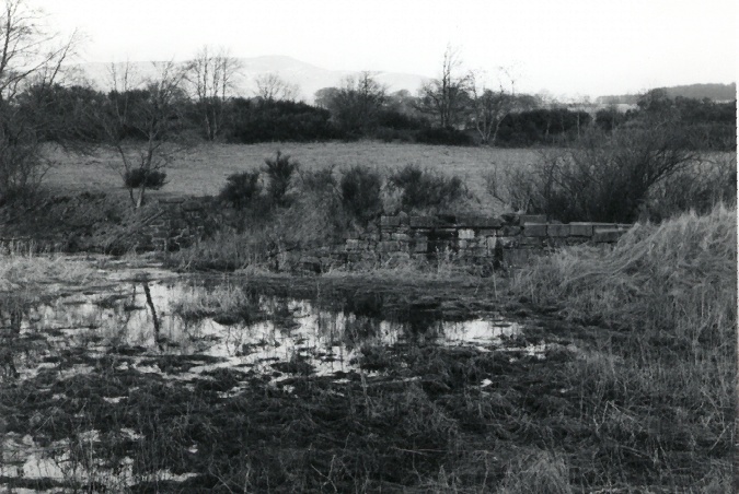
In 1966 there were two intact bridges, and a third without its spans, which crossed the Dighty Water (the local stream) and a mill lade at Rosemill. The centre bridge led to the deviation line which was opened in the 1860s. Although the west bridge appeared to line up with the Balbeuchly incline, the map given in Niall Ferguson's book (The Dundee & Newtyle Railway) page 138 - the sidings are discussed on pages 105-6 and 139-9) shows that it was the east bridge (the one with no spans) which linked to the incline: after the deviation was opened, this became a siding into Fallows quarry. It is likely then that the west bridge was built for the siding which served Leoch's quarry. These quarries made following the line of the lower part of the incline quite difficult.
The Signal Box at Rosemill |
The track bed on the north side of the Dighty which lines up with the east bridge |
 The start of the Balbeuchly incline looking north |
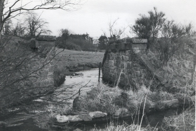 and the piers of the east bridge |
Please feel free to contact me by e-mail at elliottsimpson@hotmail.com
May 2019